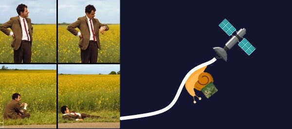
This is what SkyServe is actually doing
A fun post for the uninitiated and the sceptics.
It takes only a handful of grey cells to figure out the business benefits of Earth Observation. Apparently, satellite imagery is everywhere, and the use-cases are numerous. But why aren’t all businesses taking advantage of it? Or can they?
The current market situation
Satellite imaging companies provide easy access to expensive images. After being pestered by friends to try it out, you login to <insert-satellite-provider-of-choice>.com to buy an image of your sweet potato farm, say. You like the previews of past images taken over your farm and decide to request a fresh series of images in the coming week. Your Order is ready to be submitted, but a surge of surprise takes over your body when you notice the sheer amount of money you have to pay.
Maybe you are willing to take a shot at this. Maybe the red button hurried you up. You click the button, and your Order is accepted by the satellite company. The wait begins.
The images take a while to come.
.
..
…
If the area is too cloudy or the satellite is enroute to the area of interest, or your provider gives the data on a CD-ROM—in this day and age, you will have to wait for a week or two, or far more.
Shifting from Imagery to Insightville
A helpful friend or professional contact makes you realise that what you really needed was something actionable from the image — information which could be used to significantly lower the expenses to your business or get an edge over your competing neighbour growing sweet potato. Maybe ultimately you just wanted to know if the farm’s yield is projected to be normal or not, or if there is any threat of pests.
Enter SkyServe
We believe nobody knows your business needs as well as you do; hence we are not going to offer you insights from a generic solution bouquet
You hear the name SkyServe, which sounds relevant, and decide to check out our website and login into the dashboard.
So say you want some colour images of your farm, or are specifically looking for a kind of Agricultural Index data to know your farm’s health. Or maybe you want to know your Crop Yield or the spread pattern of pests. We have you covered. We let you get such actionable information using not only classical techniques you may already be familiar with but enhance the process by making it easy for you to train a fancy model (Bring Your Own Model, BYOM) too!
We even provide you sample data to test your code or deep learning models to identify pests in your farm, say.
How does that all sound?
In a few simple steps, we can have your code running on our satellite. Via a simple interface, you can also tell us where and when to look to get the data you need. Timbuktu? Weekly? Consider it done.
With SkyServe, we’re streamlining the process to directly deliver insights, or actionable data to that effect, so that our satellites send you only what you need, therefore being lighter on your pocket. We are forging a solid software and hardware infrastructure to give your perspective of accessing Earth Observation data a completely makeover. We even smoothen the last mile. Insights come ready-to-render on your dashboard so you don’t have to waste time on OS-specific GIS processing software You can also download data in a format of your choice.
SkyServe Magic
For those whose eyes lit up reading BYOM, we’ve perfected a magic recipe that can optimise your models to run on satellites. Our software assists your App to schedule image captures, processes the fuzzy uncalibrated pixels that we call raw data, feeds your model with something more palatable (analysis-ready data), runs onboard, and generates the Insights and transfers them to you in a fraction of the time that typical satellite providers take. It’s a self-serve, fast, seamless and scalable way to integrate Earth Observation Insights directly into your business.
Cost and speed of delivery matters to us.
Moreover, we are industry-agnostic and aim to be sensor-adaptive too in the medium to long-term. Agriculture, Land-Use, Object Detection, Oil and Gas pipeline monitoring are the common use-cases that will get a boost with SkyServe. But we’re interested in our platform being useful far beyond. We can work with you from start to end in getting your models onto satellites, supported by our amazing team.
Sign up today for our product updates and to get early access when our service goes live. 🚀


